Posts

Excellent 360 degrees view from Mt. Omine(大峰山)

Image
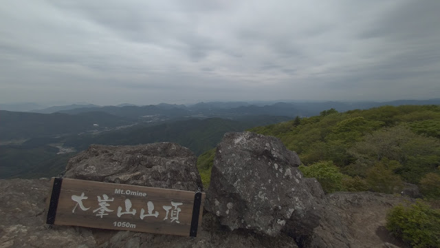
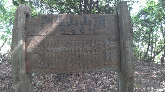
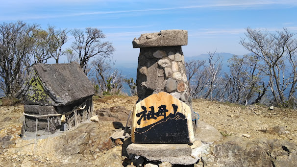
 Hiking Mt. Omine(大峰山), Mt. West Omine(西大峰山) & Mt. Onento(オオネントウ) About Mt. Omine Mt. Omine is at Saeki ward of Hiroshima city. From the summit of Mt. Omine, you can enjoy the 360 degrees view, Hiroshima city and Miyajima at the South side, and Mt. Rakan or Mt. Garyuu at the North side. Due to the beautiful view from the summit, Mt. Omine are popular among Hikers of Hiroshima. It also close to the center of Hiroshima city and you can drive to the mountain less than an hour. About the hiking trail Distance of the trail: 8.6km Cumulative elevation difference: 792m Total time: 4h19m (Rest 48m) Calories consumed: 2258kcal Date: 15 May 2022 I have chosen circular track starting from the parking space of Mt. Omine.  The 3 hours and 30 minutes course (w/o the rest) was just the right exercise for me. If that's too much, just take a walk to the top of Mt. Omine and back, then it will take only about 2 hours and 30 minutes, and you could still enjoy the view. There is a large parking s

Traverse Mt. Gongen and Mt. Abu (Hiroshima Pref.)

Image
Traverse Mt. Gongen and Mt. Abu (Hiroshima Pref.) About Mt. Gongen and Mt. Abu Mt. Abu is located in Asaminami ward and Asakita ward of Hiroshima city. When hiking from Asaminami side, the closest stations are either Midori station (JR) or Bishamondai station (Atramline). We can also hike from Asakita side, and the closest station would be Akikameyama Station (JR). At the starting point of the hiking trail, there are shrine called Bishamon-do, where enshrines Bishamonntenno, one of the god of the 'Seven Lucky Gods'. 'Seven Lucky Gods' are very poplar among Japanese, and it is believed that each god have the unique power to avoid unfortunate things and events or attract the luck.  Ebisu (恵比寿): the God of success in business (The country of origin is Japan) Fukurokuju (福禄寿): the God of wisdom, luck, and longevity (The country of origin is China) Hotei (布袋): the God of happiness, contentment, and good fortune

Hiking Mt. Sobo (100 famous mountains in Japan)

Image
Traverse Mt. Sobo (100  famous mountains in Japan) and Mt. Shoujidake About Mt. Sobo Mt. Sobo lie on the border between three prefectures of Japan, Oita Prefecture, Kumamoto Prefecture and Miyazaki Prefecture. It is selected as the title of 100 famous mountains in Japan. Mt. Sobo 1,756m Mt. Shojidake 1,705m About the hiking trail Distance of the trail: 14.8km Cumulative elevation difference: 2,080m Total time: 9h45m (Rest 60m) Calories consumed: 4875kcal Date: 2 May 2022 Very tough course.(I love the steep slope though) Mt. Sobo  lies on three prefectures, so there are many courses to reach to the summit. This time, I have chosen Koubaru course(神原コース), which starts from Takeda city, the north side of Mt. Sobo. I parked my car right before the starting point of the trail, and the owner of the guest house where I stayed took me to the first station parking area by his car.  There is an another parking space before the first station parking space. 6~7 cars can be parked here and as of 7 a